- Joined
- Sep 23, 2002
- RO Number
- 10265
- Messages
- 9,958
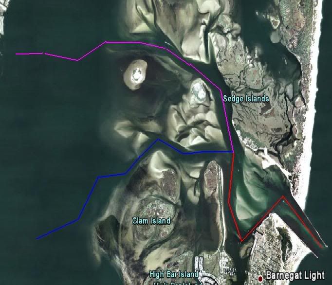
Ploting my course from Sheltered Cove Marina in Tuckerton to Fire Island. I also want to plot the some alternative courses. So here is what i got.
1) SCM out Little Egg Inlet to Fire Island Inlet.
2) SCM thru ICW to Manesquan Inlet and out
3) Barneget Inlet to ICW to Manesquan Inlet.
4) Atlantic Ocean to East Rockaway Inlet.
5) Ocean to Jones Inlet
#1 is the desired course.
#2 is if ocean is bad, to stay inside longer.
#3 is if ocean starts to get bad to come inside for a while.
#4 is if ocean is bad and decide to duck inside off Long Island
#5 is if ocean is bad and decide to not go to Fire Island Inlet.
Do these paths make sense? I know East Rockaway, Jones and Fire Island Inlets but have no knowledge about Little Egg, Barnegat, or Manesquan.
Another interesting note:
Little Egg Inlet to Fire Island Inlet along 3 mile line is 87 NM.
Little Egg Inlet to Fire Island Inlet direct line is 77 NM.
So hugging the coast is not alot longer.